The race to understand earthquake hazards in the Pacific Northwest
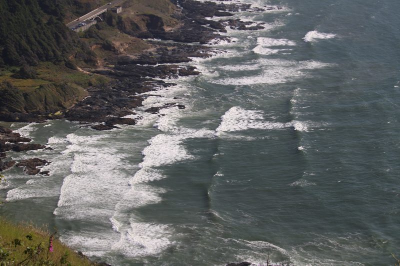
View of the Pacific Northwest coast in Yachats, Oregon. (Photo by Matias Dominguez)
Digging into the mud of the Pacific Northwest in the late 1980s, a group of geologists found evidence of a major earthquake that occurred 326 years ago and was previously unknown to Western science. Knowledge of that disaster had only survived in Indigenous oral narratives. These findings raise the question: is the region prepared for another catastrophic earthquake?
In a presentation at the ScienceWriters2026 conference in Corvallis, Ore., geophysicist Diego Melgar discussed the potential impacts of a major earthquake along the Cascadia fault — and how to prepare for such an event.
Ignorance of the possibility of earthquakes in the Pacific Northwest is a big problem, said Melgar, who directs the Cascadia Region Earthquake Science Center (CRESCENT) at the University of Oregon. “The way we have built our buildings and planned our cities” reflects that ignorance, he said, “and we are paying the consequences.”

The Cascadia Subduction Zone extends from northern California to southwestern Canada. In this zone, just offshore, the Juan de Fuca Plate is sliding beneath the North American Plate. Subduction zones can produce extremely devastating earthquakes, such as the magnitude 9 Tohoku earthquake in Japan in 2011, which triggered a massive tsunami and the Fukushima nuclear disaster. However, the infrequency of earthquakes in Cascadia and disregard for Indigenous knowledge contributed to the belief that a major earthquake would not occur. As a result, Melgar said, “we are not prepared for this kind of natural event.”
In the states of Washington and Oregon, there are at least 10,000 unreinforced masonry buildings, made of brick walls lacking steel reinforcement. Such construction, Melgar said, is inadequate for earthquake zones; it has been illegal in California since the 1934 Long Beach earthquake that led to the collapse of thousands of buildings.
The region also contains evidence of past tsunamis. Ghost forests and buried wetlands show that giant waves struck the Pacific Northwest hundreds of years ago. Many coastal towns in Oregon and Washington lack vertical evacuation towers that could help people to survive a tsunami, Melgar said.
To reduce the risk, scientists need a better understanding of the geological processes driving earthquakes and tsunamis along the Cascadia fault. Without it, communities cannot adequately prepare for future disasters; but with it, policymakers could update building regulations and improve public safety, Melgar said.
The CRESCENT team led by Melgar works across disciplines and collaborates with research institutions in the United States and other countries. In addition, they work closely with Indigenous communities to learn what they know about the Cascadia fault. “The knowledge was already there,” he said.
One of the challenges Melgar faces today, like many other researchers, is securing funding to continue studying earthquakes, tsunamis, and tectonic activity in the region. In today’s funding environment, studying events that may occur once every 300 years may not fit current priorities. “We do have a challenge in the election cycle. That is much shorter than the geologic cycle,” Melgar said.